- Digital surface modeling and mapping
- Stockpile volume measurement
- Construction progress monitoring
- Structure inspection
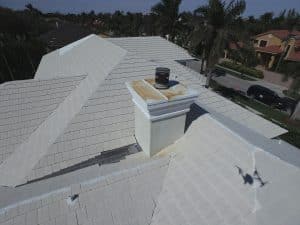
- Roof inspection
- …and more

Toll-free: 84 GET AHEAD (844-382-4323)
Our pilots are licensed by the FAA for commercial drone operations. In addition to FAA licensing, we are also FAA Safety Team Certified. Above and beyond licensing, a FAAST (FAA Safety Team) certification means that we meet the challenges of operating sUAS (small Unmanned Aircraft Systems) in a safe manner. This reflects our unwavering commitment to providing high quality professional service to our clients.
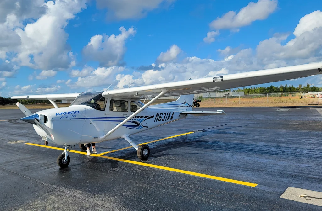
Got a larger project? We also offer fixed wing aircraft aerial photography services. We can capture large land tracts, entire real estate developments, large commercial projects, and public infrastructure projects from the air. Contact us today for a free quote.
Serving West Palm Beach, Boca Raton, Jupiter, Wellington, North Palm Beach, Riviera Beach, Lake Worth, Lantana, Boynton Beach, Delray Beach, Pompano Beach, Deerfield Beach, Fort Lauderdale, Stuart, Hobe Sound, Port St Lucie, Fort Pierce, and all of South Florida. Need service somewhere else in Florida? Call us!
We adhere to the Voluntary Best Practices for UAS Privacy, Transparency, and Accountability as published by the National Telecommunications and Information Administration (NTIA)
Your roof is one of the most expensive elements of your home to repair or replace. Unfortunately, because it can be difficult to see, it’s also one of the most neglected. A drone roof inspection is a great way to find small problems before they become big and expensive.
Roof inspections no longer require climbing ladders or scaffolding, and there’s no need to walk around on the roof (a leading cause of damage to tile roofs). Applying drone technology to roof inspections makes it easy to get a closeup look at all of the vulnerable areas of your roof on a regular basis.
A drone roof inspection by the professionals at Ahead Air is surprisingly affordable. Click here to schedule your drone roof inspection.
Photos, video and data that keep your project on time and on budget. Monitor progress, produce 3D and surface models, measure stockpiles and more …
Easily scan for damage after a storm, or as part of a regular maintenance program. Find small problems before they become big problems.
Safe, efficient inspection of high and hard to reach assets. Utility poles, cell towers, solar panel, silos, and more.